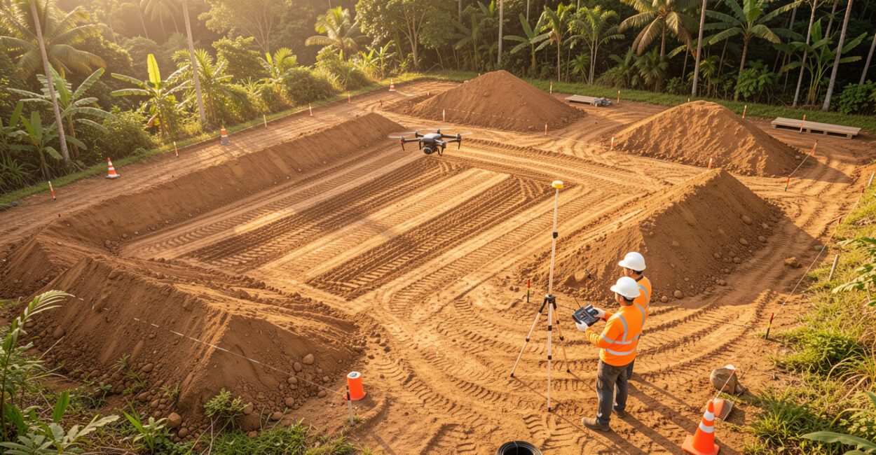
A single aerial capture can reveal that the apparent progress of an earthwork project doesn’t match the volume of material moved. Drones in construction collect images and geospatial data to support inspections, measurements, and project monitoring. Their value comes from turning that information into verifiable decisions using appropriate capture methods and quality controls.
Using drones on construction sites can reduce workers’ exposure to hard-to-reach areas and speed up surveys, but it doesn’t eliminate the need for qualified professionals. The choice of equipment and sensor depends on the goal: tracking progress, calculating volumes, examining a roof, or producing data for a project. The process starts with a project need, moves through flight planning and data validation, and ends with a deliverable the team can use. Without this sequence, compelling images may not answer the technical question that prompted the survey.

Before planning the flight
- Define which project decision the data should support.
- Choose the expected deliverable: an orthomosaic, terrain model, point cloud, or visual record.
- Confirm site access, flight conditions, and applicable rules.
- Determine who will capture, process, and technically validate the data.
Construction drone applications and operational benefits
Drones in construction can document the jobsite, map terrain, track construction phases, and inspect visible structural elements. The team plans data collection around the project’s needs, processes the images or other data, and compares the results with drawings, models, or previous surveys.
The benefits depend on the quality of the deliverable and how the project team uses it.
Applications vary by project phase. Before construction, a flight can help survey the site; during construction, it can document work areas and earthmoving; at project closeout, it can record areas and components accessible for visual inspection.
- Planning: Documenting existing conditions and supporting site layout studies.
- Earthwork: Comparing surfaces and calculating volumes, provided the capture has suitable accuracy and reference data.
- Construction: Periodically documenting progress and visually checking work areas.
- Inspection: Capturing aerial images of facades, roofs, and structures without exposing workers to certain elevated access risks.
A recurring flight routine can build a visual history that’s useful for production meetings and analyzing deviations. For comparisons to be meaningful, the dates, coverage area, resolution, and viewpoints need to be consistent.
Mapping, surveying, and BIM integration
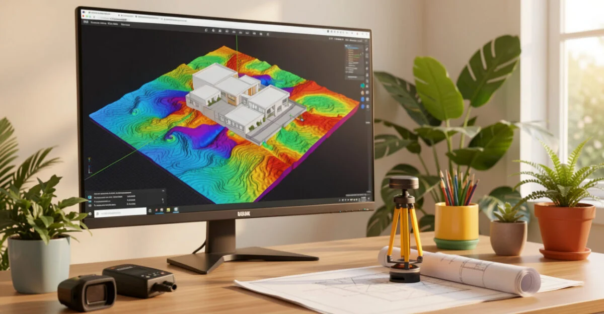
Photogrammetry in construction rebuilds three-dimensional surfaces from overlapping photographs taken from different positions. Processing can produce orthomosaics, digital surface models, and point clouds. These deliverables support terrain analysis and area or volume measurements, provided the method and spatial reference meet the required accuracy.
For drone surveying, the flight plan should account for terrain, obstacles, image overlap, and ground control points or other georeferencing methods. An image may look detailed and still have positional shifts or distortions, so visual appearance alone doesn’t prove metric accuracy.
Results can be used in CAD, geospatial, and BIM tools. Interoperability depends on the formats, coordinate systems, units, and level of detail agreed on by the data capture team and the model owner. If these parameters aren’t agreed on in advance, the team may receive a file that looks correct but is difficult to align with the project.
On earthwork projects, for example, comparing surfaces from different dates can help estimate the volume of material moved. The measurement should specify the area considered, the reference surface, and the survey’s limitations. Contract decisions or official measurements may require their own methods and validation.
Structural inspections and progress monitoring

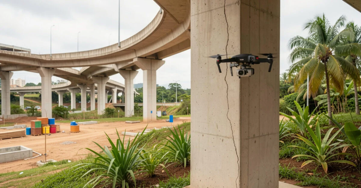
A drone construction inspection starts by defining the element to examine and the anomalies that can be identified visually. The operator plans angles, distance, and lighting, captures identifiable images, and organizes the material for technical review. Visible cracks, surface corrosion, apparent displacement, or roof damage may warrant further investigation, but an image alone can’t determine the cause or severity.
To monitor construction progress, the team compares records captured at planned intervals. Repeatable views make it easier to check completed areas, access routes, material stockpiles, and changes around the jobsite. Comparisons are less useful when each flight covers a different area or images lack dates, locations, and context.
There are important limitations: vegetation, shadows, dust, glare, and obstacles can hide details. RGB images don’t reveal an element’s internal condition, and a fine crack may require closer inspection, controlled lighting, or an in-person examination. If there’s a structural concern, a drone can help locate and document the area, but the responsible professional must assess it, and additional testing may be needed.
A well-documented aerial image helps locate a problem; technical conclusions depend on method, context, and professional validation.
Read also: Drones in Construction: Inspections, Mapping, and Safety
Safety, operations, and regulations in Brazil
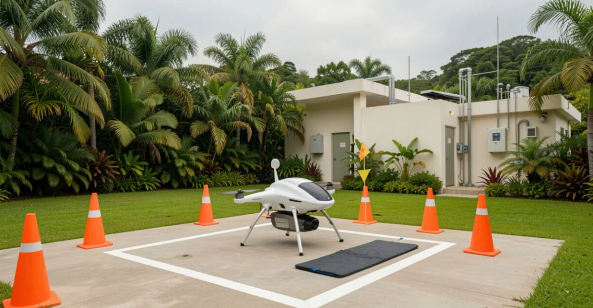
A drone can reduce the need to send people to certain observation points, but it introduces its own risks: collisions, crashes, interference with jobsite operations, and risk to bystanders. The team should define takeoff and landing zones, secure the surrounding area, communicate with workers, set acceptable weather conditions, and establish a procedure for stopping the flight.
In Brazil, drone operations must comply with rules set by ANAC (Brazil’s civil aviation authority) and DECEA (the agency responsible for airspace control), as well as site-specific conditions. ANAC covers requirements for unmanned aircraft on its official drone portal and in RBAC-E No. 94; access to airspace is addressed by DECEA in ICA 100-40. Planning may also involve privacy rules and local permits.
Read also: Sustainability in Construction: Green Techniques and Cost Savings
Is there a drone over my house?
Don’t try to bring it down or approach the operator while it’s in flight. Note the time, location, and any observable details. If there’s an immediate risk, trespassing, or suspicious behavior, contact the appropriate official channels, such as the police. For aviation-related questions, check with ANAC or DECEA. The drone’s presence alone doesn’t establish who’s operating it or whether the activity is illegal.
How high can a drone fly?
There’s no single altitude or distance that applies to every operation. Limits depend on current rules, the flight category and purpose, airspace, permits, and local conditions. Before flying, check ANAC and DECEA rules. The FAA UAS page is a U.S. resource and doesn’t replace Brazilian regulations.
At a jobsite near homes, the team needs to consider both airspace and privacy: avoid capturing areas unrelated to the survey’s purpose and limit access to the files. Communicating in advance with workers and neighbors can prevent alarm and disruptions, but doesn’t replace any required permits.
Sensors, data processing, and artificial intelligence
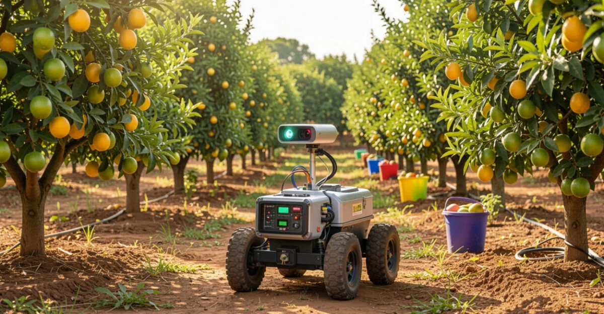
An RGB camera is suitable for visual documentation and photogrammetry when there’s enough texture and light. LiDAR measures distances using laser pulses and can be useful in areas with vegetation or complex geometry, depending on the sensor, point density, and processing. Thermal sensors detect differences in apparent temperature, but interpretation depends on environmental conditions and doesn’t automatically identify the cause of an anomaly.
Artificial intelligence can classify images or flag patterns for review, such as changes between captures. These results are for screening, not formal assessments: shadows, dirt, differences in angle, and training data can trigger false alerts or cause a defect to go unnoticed. Human validation remains essential, especially when a decision affects safety, contract measurements, or work acceptance.
A team that also develops integrations with systems should agree on file structures, permissions, metadata, and how results will be linked to the BIM model. The best sensor is the one that answers the question with sufficient quality, not necessarily the most sophisticated one.
From survey to decision: workflow and quality control
A reliable workflow connects the project’s needs to the delivered product. Each step should leave a record that shows how the data was obtained and whether it’s suitable for the intended decision.
- Define the question. Specify the area, element, purpose, required accuracy, and who will use the results.
- Plan the capture. Choose the sensor, flight path, image overlap, spatial reference, flight window, and safety measures.
- Record metadata. Keep the date, location, equipment, capture settings, and any ground control points.
- Process and review. Check coverage, blurry images, alignment, coordinates, and consistency of the resulting product.
- Validate and distribute. Compare against appropriate references, document limitations, and share the approved version with the responsible parties.
Quality control doesn’t end when the software exports a model. Check for gaps, distortions, or shifts, and confirm that the coordinate system matches the one used in the project. Consult applicable ABNT technical standards (Brazilian technical standards) based on the type of survey and documentation; the service specification should state which requirements apply.
A common mistake is changing the capture height, angle, or area on every visit and then treating the models as directly comparable. This usually happens when each flight is planned in isolation. A repeatable capture plan and file-naming convention help prevent misinterpretation and rework.
How to plan implementation and assess costs
The cost of drone terrain imagery depends on the area, terrain, required accuracy, deliverables, travel, and processing. The estimate may also vary based on the need for ground control points, permits, turnaround time, access complexity, and the format required for BIM or CAD integration. Without these details, a single price wouldn’t be very informative.
When comparing proposals, ask each provider to describe the coverage area, georeferencing method, deliverables, file formats, expected accuracy, and included checks. A proposal based only on “aerial photos” isn’t equivalent to a topographic survey with defined requirements.
Application Data or deliverable Factors that affect cost Progress documentation Photos and periodic jobsite views Frequency, area, access, and record organization Photogrammetric mapping Orthomosaic, surface model, or point cloud Area, terrain, accuracy, georeferencing, and processing Visual inspection Detailed images of elements accessible by air Height, obstacles, resolution, flight conditions, and technical analysis LiDAR survey Point cloud captured by a laser sensor Sensor, required point density, vegetation, coverage, and processing
To choose between an in-house team and a contractor, estimate mission frequency, availability of a qualified operator, processing costs, and responsibility for validation. Occasional flights or specialized deliverables may favor hiring a provider; frequent, standardized work may justify an in-house operation, provided the team has the technical capacity and meets regulatory requirements.
The next step is to write a brief specification for a representative section of the project: purpose, area, deliverable, required accuracy, format, and deadline. This makes it easier to compare equivalent proposals and determine whether a drone meets the need or another survey method would be more suitable.
Frequently asked questions
Can drone imagery be used to calculate earthwork volumes?
Yes, provided the survey produces suitable georeferenced surfaces and the comparison uses a defined reference. Results depend on the method, quality control, and boundaries of the area being measured.
Can a drone replace scaffolding during an inspection?
In some cases, it can provide views of areas without scaffolding, reducing the exposure associated with that access method. However, it can’t replace physical access when the assessment requires touch, testing, or inspection of details the camera can’t capture.
What deliverables should I request when hiring a survey provider?
Request a list of files and products, the coordinate system, coverage area, accuracy parameters, georeferencing method, and checks performed. Also agree on who will validate the data and how it will be integrated into the project workflow.
Artigos Relacionados
 BIM in Construction: Benefits and Practical Implementation
 Fixed Income: Strategies for Safety and Real Returns
 Construction Costs: How to Optimize Project Budgets
 Construction Technology for Engineering and Building Projects
 Efficient Construction Project Management for Engineering and Construction
 Sustainable Projects in Engineering and Construction