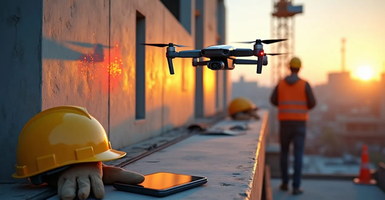
Drones are unmanned aerial vehicles (UAVs) controlled remotely or by autonomous systems. Equipped with sensors, cameras, and communication platforms, they collect data and perform tasks in a wide range of environments.
In construction, drones are transforming inspections, jobsite monitoring, surveying, and safety by offering greater speed and repeatability at lower cost than traditional methods. Integrating drones with BIM, photogrammetry, and geospatial analysis improves decision-making, reduces the risk of accidents, and accelerates schedules—especially on large-scale projects and in complex urban environments.

Key Takeaways
- Fast, accurate aerial inspections reduce costs and save time.
- Drone-based topographic mapping integrates with BIM for better project control.
- Drones improve jobsite safety through continuous monitoring.
Drones for Structural Inspections
Using Drones to Detect Issues Early
Drones capture high-resolution images and thermal data to identify cracks, corrosion, and hot spots in structures, reducing the need for scaffolding and limiting workers’ exposure to hazards. Regular flight schedules create a visual record that makes comparisons easier and supports predictive maintenance, reducing downtime and unplanned costs.
Protocols and Regulations for Drone Use
Standardized operating protocols help ensure legal compliance, data quality, and safe operations. They should include a flight plan, a checklist, and operator certifications. Integrating local regulations and consulting technical guidance are essential for commercial operations. Check with regulatory agencies regularly to keep practices and requirements up to date.
Drone Mapping and Surveying
Creating Digital Models with Drones
Drones equipped with RGB cameras and LiDAR produce digital terrain and surface models with centimeter-level accuracy, supporting volume analysis and earthwork planning. These models speed up engineering workflows and integrate directly with CAD/BIM software, improving coordination between design and construction.
- Photogrammetric surveys for orthomosaics.
- LiDAR data collection for vegetation and complex structures.
- Contour line and DSM/DTM generation.
These surveys improve project accuracy and reduce rework, especially in hard-to-reach areas or locations with frequent topographic changes.
Drones for Construction Site Monitoring

Tracking Project Progress with Drones
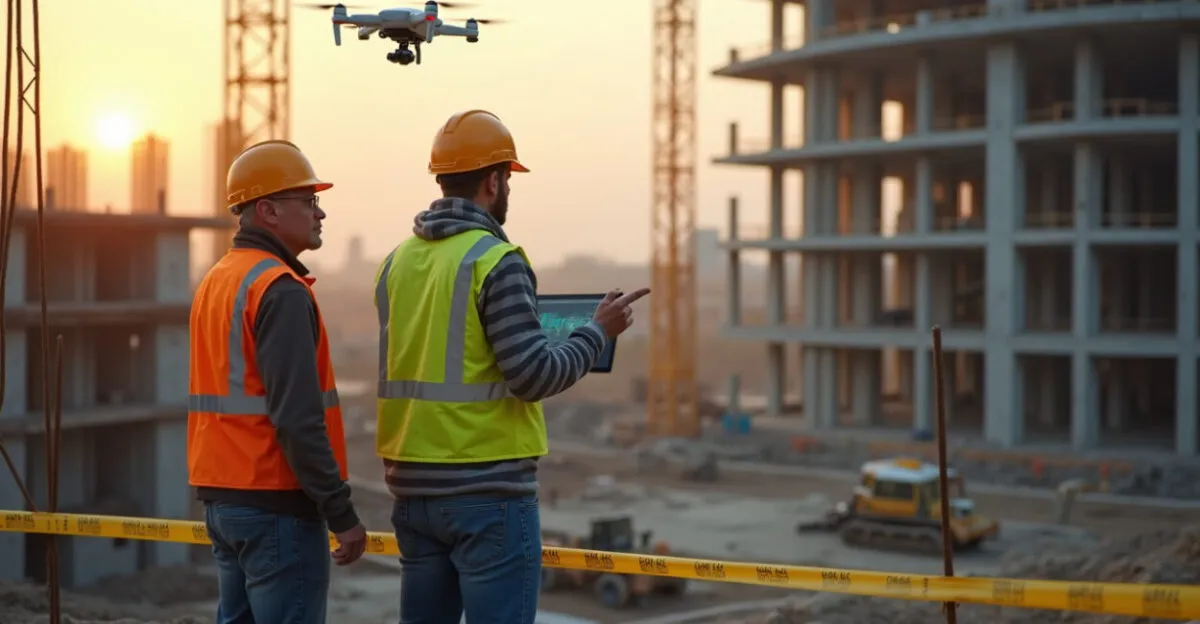
Regular drone inspections document construction progress, making it possible to compare schedules with actual work and identify delays or deviations before they escalate. Visual reports and 3D models generated by drones improve communication among teams, suppliers, and clients, supporting better decisions and resource management.
Automation and Data Analysis
Analytics platforms process drone data to detect discrepancies, calculate volumes, and generate automated alerts that support real-time decisions. This automation reduces manual review, improves report reliability, and enables more accurate forecasts for costs and timelines.
Drones and Jobsite Safety
Aerial Surveillance to Prevent Accidents
Drones monitor the movement of workers and equipment, as well as critical areas, detecting unsafe conditions and allowing teams to intervene quickly to mitigate risks. Ongoing drone use also documents compliance with safety standards and provides valuable records for investigations and process improvements.
- Patrols in hazardous areas.
- Monitoring of heavy equipment.
- Inspections after severe weather (rain or high winds).
These practices strengthen occupational safety programs and reduce incidents while providing data for training and prevention.
Drones, Costs, and ROI
Cost-Benefit Analysis of Drones
Using drones reduces costs for equipment rentals, scaffolding, and inspection labor. The return on investment can come quickly on highly complex projects.
Read also: Drones in Construction: Inspection, Mapping, and Safety
Factoring in CAPEX, OPEX, training, and data processing helps calculate realistic ROI and justify strategic investments in technology.
Business Models and Outsourcing
Companies can buy drones or hire specialized service providers. Outsourcing lowers upfront barriers and helps ensure regulatory compliance and data quality.
Read also: Sustainable Construction: Green Techniques and Savings
Hybrid models that combine in-house teams with service providers offer operational flexibility and control over critical assets.
Integrating Drones with Technology and BIM
Drone-to-BIM Workflows
Drones supply BIM models with orthomosaics, point clouds, and visual inspection data, improving coordination across disciplines and the accuracy of design reviews. Direct connections between drone-captured data and BIM platforms speed up clash detection and installation planning.
Interoperability and Open Standards
Using interoperable formats (LAS, OBJ, IFC) ensures that drone data can be integrated into digital ecosystems, avoiding data silos and rework. Data governance policies protect the security, quality, and traceability of information collected by drones throughout a project’s life cycle.
Challenges, Ethics, and Drone Regulations
Drone Privacy, Safety, and Liability
Drone operations require clear policies for image collection, data protection, and consent to minimize legal risks and impacts on neighbors and workers. Liability coverage and appropriate insurance are essential. Contracts and terms of use should define the responsibilities of operators and data owners.
Technical Limitations and Mitigation
Factors such as battery life, weather conditions, and GNSS interference can limit operations. Mitigation measures include sensor redundancy and careful mission planning. Ongoing training and preventive maintenance help maintain performance and operational safety, ensuring drones deliver reliable data.
| Criterion | Drones (photogrammetry) | LiDAR |
|---|---|---|
| Accuracy | Centimeter-level under good conditions | Centimeter to subcentimeter |
| Vegetation | Limited | High penetration |
| Cost | Moderate | Higher |
A technical comparison of optical sensors and LiDAR highlights trade-offs between cost and application. The choice should be based on the project’s accuracy, coverage, and budget requirements.
- Regulatory compliance is a minimum requirement.
- Operators must receive qualified training.
- Data processing requires infrastructure.
These critical considerations support the responsible adoption of drones, helping realize technical and economic benefits without compromising safety or compliance. For updates on international and domestic regulations, consult official sources. For example, technical guides and recommendations from agencies such as the FAA and research organizations such as NASA offer valuable guidance for safe operations.
Drone Adoption and Implementation Roadmap
Implementation Phases
A typical roadmap includes needs assessment, a pilot program, protocol standardization, training, and scaling. Each phase should have clearly defined success metrics for drone use. Successful implementations prioritize data governance, integration with existing systems, and performance indicators aligned with project goals.
Metrics and KPIs for Drone Projects
Useful metrics include inspection time, survey accuracy, incident reduction, and cost per report. Tracking KPIs enables continuous improvements in drone use.
Regular reports based on drone-collected data demonstrate value and support strategic investment and scaling decisions.
Frequently Asked Questions
How Do Drones Improve Safety on Construction Sites?
Drones improve safety by monitoring hazardous areas, recording conditions in real time, and enabling preventive actions. With cameras and thermal sensors, they can identify unsafe conditions, equipment failures, and material buildup, reducing the need for manual inspections in dangerous locations. Ongoing documentation creates records for training and audits, helping foster a culture of safety. Well-planned operations minimize disruptions and ensure compliance with occupational health standards while providing important evidence in the event of an incident.
What Are the Legal Requirements for Operating Drones on Construction Sites in Brazil?
In Brazil, commercial drone operations require registration, pilot certification, and compliance with the rules of ANAC (Brazil’s National Civil Aviation Agency), DECEA (the Brazilian Airspace Control Department), and ANATEL (Brazil’s National Telecommunications Agency), where applicable. Operators must follow altitude limits and avoid restricted zones, obtaining authorization to fly in controlled areas. Companies should have operating procedures, insurance, and a privacy policy for images. Consulting current regulations and staying in touch with regulatory agencies is essential to avoid penalties. Compliance protects projects, workers, and sensitive data while ensuring legal and safe operations.
How Accurate Is Mapping with Drones?
Accuracy depends on the sensor and processing workflow. Photogrammetry with ground control points can achieve centimeter-level accuracy, while LiDAR typically offers centimeter- to subcentimeter-level accuracy, especially in vegetated areas. Flight altitude, image overlap, atmospheric conditions, and calibration all affect results. Best practices include using georeferenced control points, calibrating cameras, and processing data with specialized software to ensure reliable models for BIM integration and engineering analysis.
How Do You Integrate Drone Data with BIM and Existing Workflows?
Integration involves exporting point clouds and orthomosaics in standard formats (LAS, OBJ, IFC) and importing them into BIM platforms with coordinates properly aligned. Efficient processes use automated data ingestion pipelines, quality checks, and standardized data models. Data governance defines who is responsible for each version and update. Conversion tools and APIs help synchronize platforms, while training prepares multidisciplinary teams. A well-structured integration improves data reliability and speeds up decisions during design and construction.
What Are the Technical Limitations of Drones, and How Can They Be Mitigated?
Key limitations include battery life, sensitivity to wind and GNSS interference, and limited payload capacity for advanced sensors. Mitigation measures include spare batteries and charging logistics, planning missions during favorable weather windows, sensor redundancy (IMU/GNSS), and selecting platforms suited to the mission. Preventive maintenance and pilot training reduce operational failures. Contingency procedures help ensure critical inspection and surveying work can continue.
Artigos Relacionados
 Drones in Construction: Inspections, Mapping, and Safety
 BIM in Construction: Benefits and Practical Implementation
 Fixed Income: Strategies for Safety and Real Returns
 Construction Costs: How to Optimize Project Budgets
 Construction Technology for Engineering and Building Projects
 Efficient Construction Project Management for Engineering and Construction